Lost On Franklin Boulevard: Sacramento Square and Garfield Square
View of original northwest corner of Sacramento Square, now part of the West Town Academy, from the Sacramento Boulevard east service drive. Gabriel X. Michael/Chicago Patterns
Sacramento Square
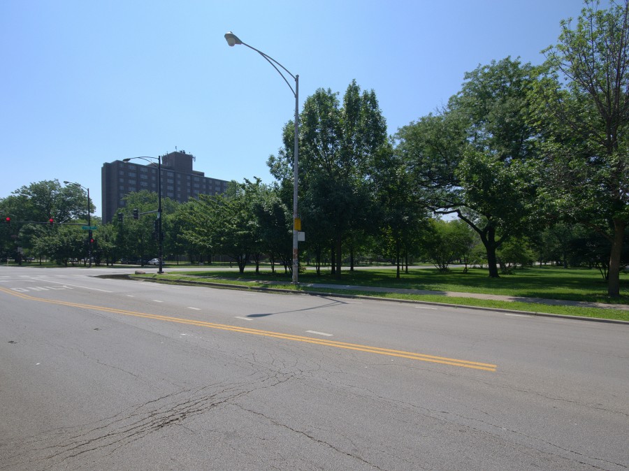
This square is situated at an important transition point in the Chicago boulevard system, where Humboldt Park’s Sacramento Boulevard to the north connects into Garfield Park to the west via Franklin Boulevard. There is little green space at this turning point for the boulevard system, historically overrun by intersecting roadways and industrial traffic. It only retains one of its original corners, the southwest at Whipple Street and the Franklin Boulevard south service drive, and has some nondescript, while pleasantly shady, clusters of trees and shrubs.
Although always a component in Jenney’s original West Chicago Park System planning, Sacramento Square’s design and borders have been altered several times in the past century. Especially of note was a 1909 redesign project for purposes of the Park District’s new acquisition of Sacramento Boulevard from the city, from south of the C & NW rail embankment at 400 North pictured in the previous part of this story, to Roosevelt Road at 1200 South.
This was to serve as another vital connector in the boulevard system to Douglas Park. But today it leaves much to be desired as a “boulevard”; it essentially serves as a 2-mile long, 4-lane expressway for cars, with little to no accommodation to pedestrians (decrepit sidewalks, crosswalks, and viaducts) nor cyclists (no bike lanes, degraded pavement markings and dangerous speeds) between these historic green spaces.
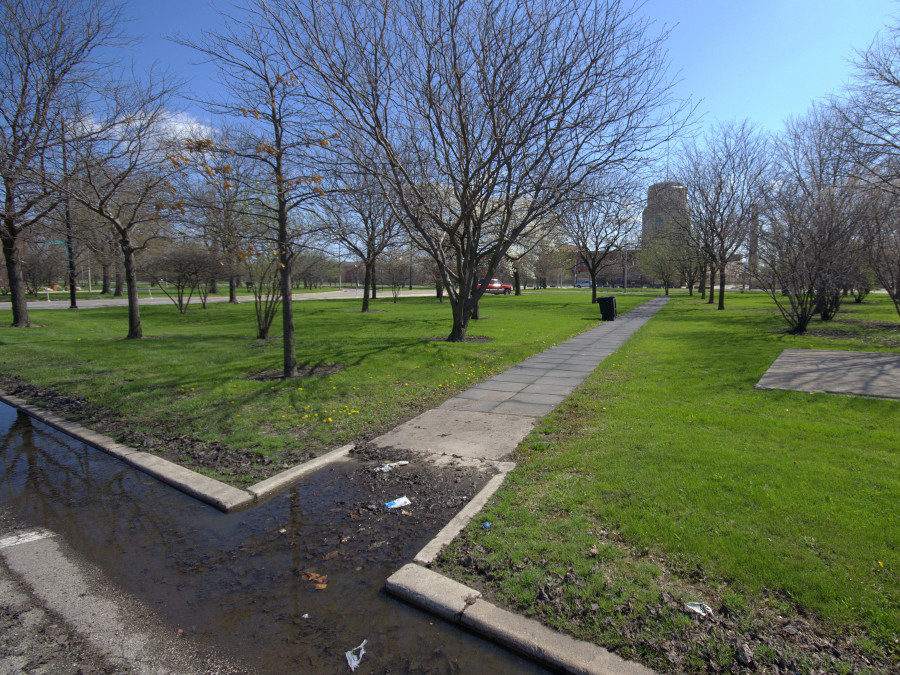
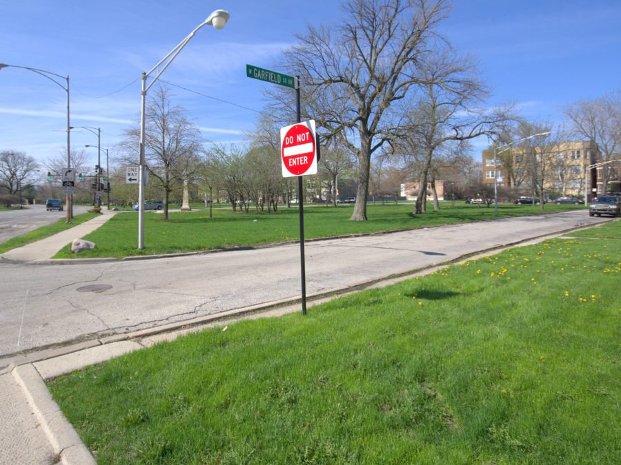
Viewing northwestern corner Sacramento Square and derelict concrete slab in April 2014, from Whipple Street and Franklin Boulevard north service drive. Note that this is the only remaining intact corner from the original 1903 design of Sacramento Square.
Pedestrian walkway across northwest area of Sacramento Square, connecting to intersection of Franklin and Sacramento Boulevards.
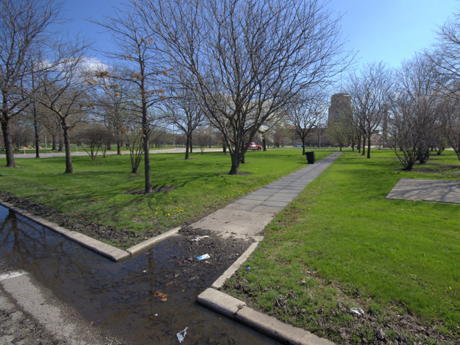
Viewing east along Whipple Street towards the largest space of Sacramento Square, with pedestrian walkway connecting Franklin Boulevard north service drive with Sacramento Boulevard.

View of the former northeast corner of Sacramento Square, now paved and privatized for industrial business, but original sidewalks from the square are still extant.
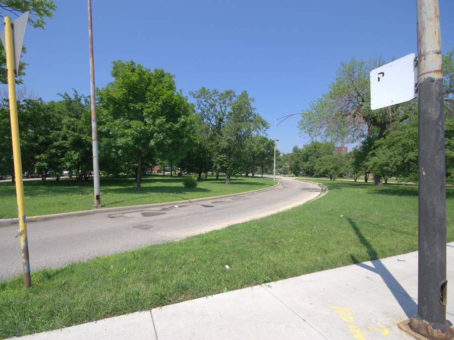
Viewing the southeastern part of Sacramento Square from Sacramento Boulevard. The curved drive connects eastbound Franklin Boulevard to southbound Sacramento Boulevard. West Town Academy and its brick clock tower are seen in the far background.
Garfield Square
On the west end of Franklin Boulevard sits Garfield Square at 300′ X 325′, connecting Franklin Boulevard to Central Park Boulevard directly into Garfield Park near the Conservatory and former stables. Pedestrian walkways in various states of neglect serve as connections between the boulevards and service drives.
The southern border of the square is the C & NW railroad embankment, where a “Central Park Station” railroad stop once existed (see 1910 map detail above). There are signs of this crossing’s history over the years, including wide, vacated east service drive in the underpass along with disused utility poles and sidewalk and stair fragments.
Unique from Sacramento Square is the presence of residential buildings bordering the square on West Garfield Square Drive and North Monticello Avenue to the west. The dominant type are 2- and 3-flat brick building, as well as a few well-preserved greystones and even single-family brick homes, all dating from 1900s-1920s. Most striking are the massive multi-unit developments sitting vacant across from one another at North Central Park Avenue and West Garfield Square Drive.
Newly erected street sign for “West Garfield Square Drive”, at approximately 510 N. Central Park Boulevard
View of the southwest area of Garfield Square and deteriorating pedestrian walkway connecting Central Park Boulevard and its western service drive.
Viewing northwest towards central area of Garfield Square and multi-unit residential buildings lining Monticello Avenue to the far left. Other residential buildings lining Garfield Square Drive can be seen behind trees to the right.
Viewing southeast at the west end of Franklin Boulevard where it becomes West Ferdinand Street. Central Park Boulevard is seen in the background.
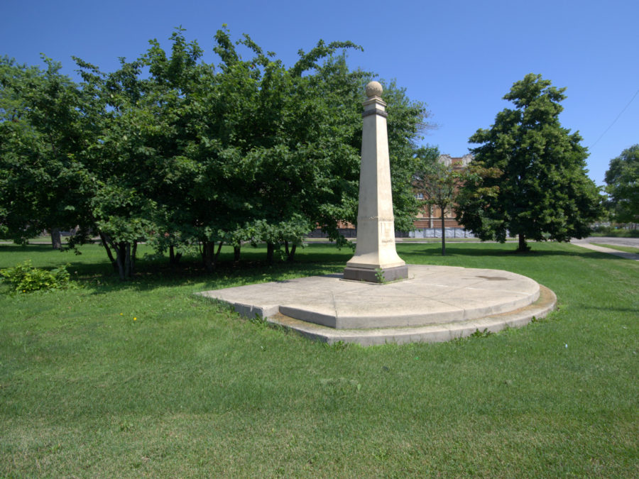
A decorative obelisk installed in 1996 by the Chicago Park District on the northeast corner of Garfield Square along Central Park Boulevard. Multi-unit residential building under rehab is seen in the background.
Through this exploration of these squares as public spaces, their depiction and the development of the West Park System as a whole, there are certain patterns or symptoms of systemic neglect that reveal themselves. Patterns of delayed growth, drawn-out negotiation complicating each wave of construction, and organizational mismanagement of the boulevard all drastically limited the infrastructural and residential development that one sees on nearly every other Chicago boulevard segment.
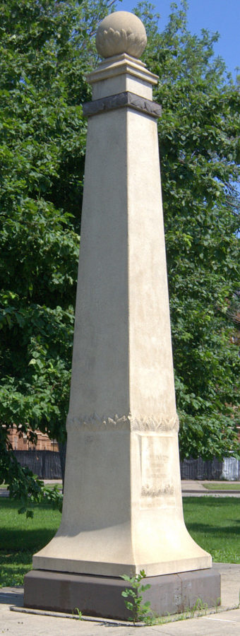
Detail view of decorative quasi-historic obelisk installed by the Chicago Park District in 1996. The inscription reads “Chicago’s Historic Boulevards – Franklin and Central Park Boulevards”
Another inescapable issue, persisting today, is the overbearing influence of railroad and automobile traffic constricting the boulevard’s development and safety — essentially rendering them obsolete once roadways were carved through them. From the start a century ago, it seems Franklin Boulevard and Sacramento and Garfield Squares were doomed as successful public spaces.
This was a great read (both parts). I live here and I’m happy to report Franklin Blvd. received a complete upgrade last year with some of the best (and currently pointless) bike lanes in Chicago! The bike lanes actually have a slab of raised concrete on their left as a safety measure. This area has so much potential.