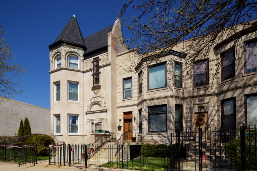
A Brief History of Milwaukee Avenue, Part 1: an Indian Trail Becomes Dinner Pail Avenue

4 comments

Milwaukee/Kimball/Diversey [John Morris/Chicago Patterns]

Outside of Downtown, Milwaukee Avenue is likely the fastest growing and changing thoroughfare in the city, and it isn’t the first time in history it’s had this position. Since the early beginnings of Chicago, it’s been a busy commuting path and one of the most bustling commercial centers.

The beauty and lore of this avenue was captured over a century ago in a book by a Jefferson Park resident:

What Soho is to London this diagonal avenue is to the Garden City. By turns the Greek, Italian, German, Scandinavian, Russian, Lithuanian and Pole monopolize the street signs, the corner news-stands, the sidewalks and the cars, or proclaim to the passing nose one aspect of their national delicacies.

Every half-section line exhibits in its ganglia, as the crossing of the thoroughfares, a sharp-angled picturesque frontage, akin to Seven Dials or Five Points in their palmy days.

Alfred Bull, amateur historian describing Milwaukee Avenue in 1911

In the first part of this series, we’ll look at the early history of Milwaukee Avenue, and follow it until the boom years of the 1920s. Next we’ll cover the Chicago School of architecture, and later, the transition to the Machine Age and Art Deco.

Continue reading »


The Wilbur and the 1879 “Philadelphia Plan” Street Renumbering

Leave a comment
John Morris/Chicago Patterns

John Morris/Chicago Patterns

A few months ago columnist Gabriel X. Michael surveyed West Side houses with inscribed numbers that didn’t align with the current address. This was the result of the 1909 adoption of Edward Brennan’s plan which standardized addresses across Chicago.

Though this change affected most of the city, there was a large swath that escaped the 1909 change, including the house above.

A pre-1909 inscription on the entryway with an accurate address was quite curious.

Continue reading »


19th-Century Chicago Addresses on the West Side

3 comments

Gabriel X. Michael/Chicago Patterns

Before Edward Brennan developed the comprehensive 8 blocks-to-a-mile address system in 1909, Chicago street addresses were disorganized and confusing, being based on three distinct divisions of the city created by its surrounding waterways of the Chicago River, its branches, and Lake Michigan. Lake Street (the first street platted in the village of Chicago) was the city’s original dividing line between north and south but east and west designations depended on which side of the Chicago River and Lake Michigan you were located. Continue reading »


500 North: A Look at Franklin Boulevard

1 comment
Viewing east on Franklin Boulevard from Kedzie Avenue, with Sacramento Square in the background. Gabriel X. Michael/Chicago Patterns

Viewing east on Franklin Boulevard from Kedzie Avenue, with Sacramento Square in the background. Gabriel X. Michael/Chicago Patterns

Chicago’s “Emerald Necklace,” our citywide boulevard system, was established in 1869 when the state legislature created governmental organizations to manage the development and maintenance of Chicago’s desperately needed new parks. One of these, the West Side Park System, was organized to create parks on Chicago’s farmland borders (presently west of Western Avenue) to spur middle- to upper-class residential development migrating out from the city center, and serve its growing inner-city population with recreational “pleasure grounds.”

Continue reading »