A Brief History of Milwaukee Avenue, Part 1: an Indian Trail Becomes Dinner Pail Avenue

4 comments

Milwaukee/Kimball/Diversey [John Morris/Chicago Patterns]

Outside of Downtown, Milwaukee Avenue is likely the fastest growing and changing thoroughfare in the city, and it isn’t the first time in history it’s had this position. Since the early beginnings of Chicago, it’s been a busy commuting path and one of the most bustling commercial centers.

The beauty and lore of this avenue was captured over a century ago in a book by a Jefferson Park resident:

What Soho is to London this diagonal avenue is to the Garden City. By turns the Greek, Italian, German, Scandinavian, Russian, Lithuanian and Pole monopolize the street signs, the corner news-stands, the sidewalks and the cars, or proclaim to the passing nose one aspect of their national delicacies.

Every half-section line exhibits in its ganglia, as the crossing of the thoroughfares, a sharp-angled picturesque frontage, akin to Seven Dials or Five Points in their palmy days.

Alfred Bull, amateur historian describing Milwaukee Avenue in 1911

In the first part of this series, we’ll look at the early history of Milwaukee Avenue, and follow it until the boom years of the 1920s. Next we’ll cover the Chicago School of architecture, and later, the transition to the Machine Age and Art Deco.

Continue reading »


19th-Century Chicago Addresses on the West Side

3 comments

Gabriel X. Michael/Chicago Patterns

Before Edward Brennan developed the comprehensive 8 blocks-to-a-mile address system in 1909, Chicago street addresses were disorganized and confusing, being based on three distinct divisions of the city created by its surrounding waterways of the Chicago River, its branches, and Lake Michigan. Lake Street (the first street platted in the village of Chicago) was the city’s original dividing line between north and south but east and west designations depended on which side of the Chicago River and Lake Michigan you were located. Continue reading »


The House That Gunpowder Built and the 1886 Explosion That Shook the City

3 comments
whitehouse (1)

John Morris/Chicago Patterns

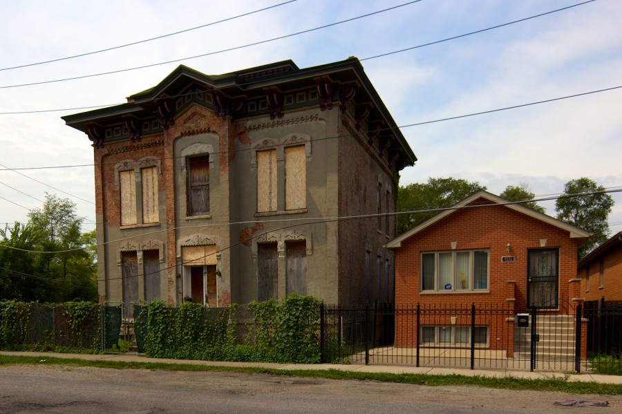
Near the corner of 36th and Western in Brighton Park is a boarded up Italianate mansion, known as the DuPont-Whitehouse house. Financing and motivation to build the house came from DuPont de Nemours & Company, an explosives company dating to the early 1800s.

The house’s stark symmetry, boarded up windows, and tall stature command attention. The home also represents one of the largest turning points in prosperity for the Brighton Park neighborhood.

Continue reading »


The Other Side of Old Town: Remnants of Swede Town and Little Sicily

10 comments
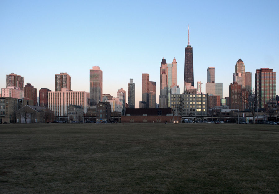
Viewing east towards the Near North skyline, from 900 block of Hudson Avenue. Vacant former site of Cabrini Extension South high-rises in foreground.

Viewing east towards the Near North skyline from 900 block of Hudson Avenue. Vacant former site of Cabrini Extension South high-rises in foreground. Gabriel X. Michael/Chicago Patterns

Located just north of downtown and on the eastern side of Chicago’s man-made Goose Island and North Branch Canal, the Lower Near North Side has been called many names, and served as home to Chicago’s poor working class and multi-ethnic waves of immigrants.

It was notably put under a microscope by urban sociologist Harvey Warren Zorbaugh in his highly-influential and precedential book The Gold Coast and the Slum (1929), where he chronicled its notorious living conditions, detailed its socio-economic makeup, and elucidated tangled patterns of dysfunction sustaining this “slum’s” existence, blocks from one of Chicago’s wealthiest communities to the east. Central to his philosophy was the idea of “natural areas” within a city–the unplanned, organic enclaves that emerge out of a coincidence of physical geography and cultural segregration: the Lower Near North Side being a prime example of this urban phenomena.

Continue reading »